top of page

AirNavCAD

AirNavCAD es una herramienta online CAD de ayuda al diseño de procedimientos de vuelo, que permite la representación de áreas construidas con criterios PANS OPS de OACI y la evaluación de obstáculos correspondiente.

Actualizada a la última enmienda del Doc. 8168, 9905 y Anexo 14 de OACI. Ha sido validada según el Doc. 9906 de OACI. Varias compañías Europeas se han certificado como IFPD providers con AirNavCAD cumpliendo con las Easy Access Rules for Air Traffic Management/Air Navigation Services (Regulation (EU) 2017/373).

OAS.PNG

OAS
and
LPV

AR_image_missed.png

RNP AR 
Module

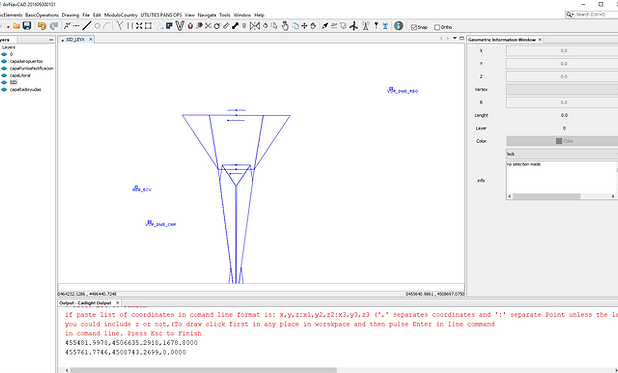
SID_nueva2.png

SID/STAR/
Missed Approach
PBN

selection.PNG

HOLDINGS RACETRACKS
BASE TURNS
REVERSAL TURNS

Intermedia.PNG

Intermediate
segment

ILS/LOC/NPA

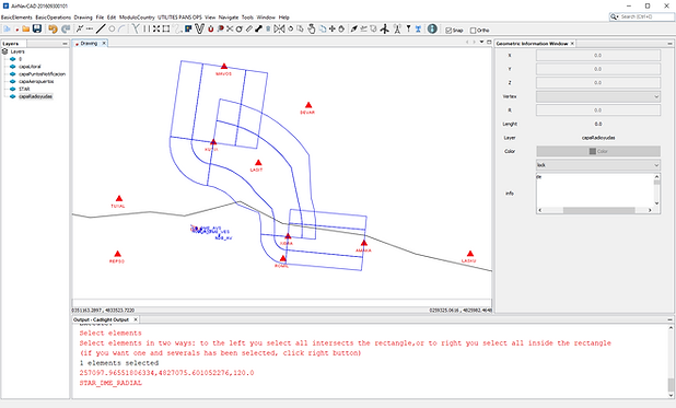
STAR_CONV.PNG

STAR
Conventional

Tools.png

Pans Ops
Tools: VSS, OCS, WIND SPIRAL AND TOLERANCES AND MORE

LOAD AIXM data.PNG

Data Load
and
AIXM load

DEM analysis.PNG

Obstacle
Analysis: Critical obstacle and report

Shape_EY.PNG

Terrain shp load
and
Eye Tool

OLS.PNG

OLS Module

Luciad_AIXM.PNG

Aixm 
on
Demand

kml.PNG

EXPORT ALL TO KML OR DXF

Go to page
Califica este servicioNo me encantaNo es buenoBienRecomendada¡Me encanta!Califica este servicio
bottom of page